
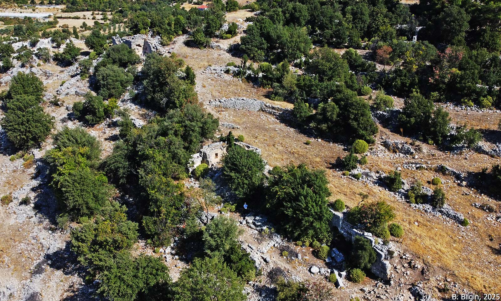
Arneai is located at the northernmost end of the Kasaba Plain, on the eastern slope of the valley formed by the Tokluca River. The fortress is situated on a rocky hill south of Günçalı (formerly Ernez) village; the former name of the village is derived from Arneai. The Patara Road Monument places Arneai on the route between Myra and Dereağzı. Its Classical Lycian tombs, one of which bears a Lycian inscription (TL 83), confirm its identity as a Dynastic-period settlement. Although later restored, the fortress walls also reflect features of the Dynastic and Hellenistic periods.
During the Roman era, Arneai formed a sympoliteia together with nearby smaller settlements, and minted coins under its own name within the Lycian League. In the Byzantine period, it became an episcopal center under the jurisdiction of Myra. A three-aisled church from this period remains within the fortress. Other identifiable structures from earlier periods are limited to tombs, cisterns, and workshops. However, reused inscribed blocks in the fortress walls suggest the city once had rich monumental architecture.


References:
Çevik, N. 2021. Lykia Kitabı: Arkeolojisi, Tarihi ve Kültürüyle Batı Antalya, Türk Tarih Kurumu, Ankara.
Dinç, S. 2012. “Hellenistik ve Roma Çağları Likyası’nda Sympoliteia’lar,” in Uluslararası Genç Bilimciler Buluşması I: Anadolu Akdeniz Sempozyumu 04-07 Kasım 2009, Antalya.
Kalinka, E. 1944. Tituli Asiae Minoris Vol.2/3, Vindobonae.
Marksteiner, T. 1997. Die befestigte Siedlung von Limyra, Forschungen in Limyra 1, Vienna.
Images:
E. Kalinka, 1944
Ertuğrul Anıl, 2025
Bora Bilgin, 2025
Tayfun Bilgin, 2025